OS benchmark - Burwarton, former school
Introduction
The photograph on this page of OS benchmark - Burwarton, former school by Richard Law as part of the Geograph project.
The Geograph project started in 2005 with the aim of publishing, organising and preserving representative images for every square kilometre of Great Britain, Ireland and the Isle of Man.

There are currently over 7.5m images from over 14,400 individuals and you can help contribute to the project by visiting https://www.geograph.org.uk
OS benchmark - Burwarton, former school
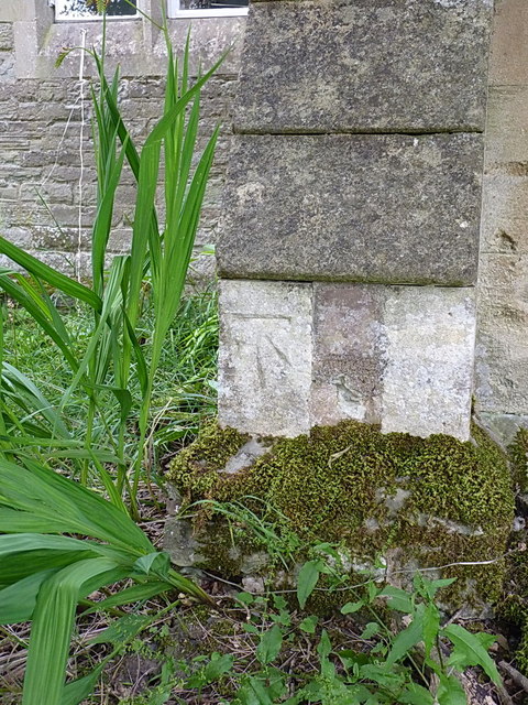
Image: © Richard Law Taken: 7 Aug 2015
An OS cutmark on the porch of the old school building, which is now a B&B establishment owned by the nearby Boyne Arms pub; originally levelled at 246.861m above Ordnance Datum Newlyn.
Images are licensed for reuse under creativecommons.org/licenses/by-sa/2.0
Image Location
Latitude
52.463315
Longitude
-2.562206