Lower Tegid Street with housing representative of three centuries
Introduction
The photograph on this page of Lower Tegid Street with housing representative of three centuries by Eric Jones as part of the Geograph project.
The Geograph project started in 2005 with the aim of publishing, organising and preserving representative images for every square kilometre of Great Britain, Ireland and the Isle of Man.

There are currently over 7.5m images from over 14,400 individuals and you can help contribute to the project by visiting https://www.geograph.org.uk
Lower Tegid Street with housing representative of three centuries
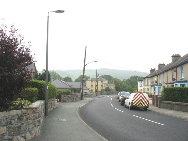
Image: © Eric Jones Taken: 8 Jun 2007
The bungalows on the left hand side are a product of the 21st century, the houses opposite date from the Edwardian period and the large yellow building in the background dates back to the 18th century.
Images are licensed for reuse under creativecommons.org/licenses/by-sa/2.0
Image Location
Latitude
52.907655
Longitude
-3.594532