Old Luss Road
Introduction
The photograph on this page of Old Luss Road by Lairich Rig as part of the Geograph project.
The Geograph project started in 2005 with the aim of publishing, organising and preserving representative images for every square kilometre of Great Britain, Ireland and the Isle of Man.

There are currently over 7.5m images from over 14,400 individuals and you can help contribute to the project by visiting https://www.geograph.org.uk
Old Luss Road
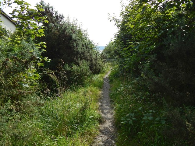
Image: © Lairich Rig Taken: 17 Aug 2015
In this view downhill (south), the Churchill Estate is just beyond the gate that can be seen ahead. The same gate is shown, from the other side, in Image Another contributor's earlier picture shows the same section of path as appears in the present picture, but the view is in the opposite direction (north, and uphill), and the path was then much less overgrown: Image
Images are licensed for reuse under creativecommons.org/licenses/by-sa/2.0
Image Location
Latitude
56.010877
Longitude
-4.711569