Manchester Bolton & Bury Canal breach
Introduction
The photograph on this page of Manchester Bolton & Bury Canal breach by Bradley Michael as part of the Geograph project.
The Geograph project started in 2005 with the aim of publishing, organising and preserving representative images for every square kilometre of Great Britain, Ireland and the Isle of Man.

There are currently over 7.5m images from over 14,400 individuals and you can help contribute to the project by visiting https://www.geograph.org.uk
Manchester Bolton & Bury Canal breach
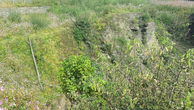
Image: © Bradley Michael Taken: 24 Aug 2015
It occurred in 1936 and drained much of the canal, and began its demise - it formally closed in 1961. The towpath goes around the site of the breach.
Images are licensed for reuse under creativecommons.org/licenses/by-sa/2.0
Image Location
Latitude
53.554998
Longitude
-2.371442