Cattle way at Slacks Farm
Introduction
The photograph on this page of Cattle way at Slacks Farm by Oliver Dixon as part of the Geograph project.
The Geograph project started in 2005 with the aim of publishing, organising and preserving representative images for every square kilometre of Great Britain, Ireland and the Isle of Man.

There are currently over 7.5m images from over 14,400 individuals and you can help contribute to the project by visiting https://www.geograph.org.uk
Cattle way at Slacks Farm
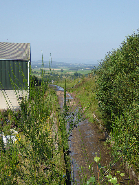
Image: © Oliver Dixon Taken: 23 Aug 2015
Slacks Farm is set only a short distance away from the dismantled Dumfries, Lochmaben and Lockerbie Railway. The track which appears to be principally used for driving cattle passes under the road at the farm and is most probably an old railway siding running to the site of former mineral workings to the south of the farm.
Images are licensed for reuse under creativecommons.org/licenses/by-sa/2.0
Image Location


Leaflet Map data © OpenStreetMap
Latitude
55.137952
Longitude
-3.478755