Sunshine Trail route map near Shanklin railway station
Introduction
The photograph on this page of Sunshine Trail route map near Shanklin railway station by Jaggery as part of the Geograph project.
The Geograph project started in 2005 with the aim of publishing, organising and preserving representative images for every square kilometre of Great Britain, Ireland and the Isle of Man.

There are currently over 7.5m images from over 14,400 individuals and you can help contribute to the project by visiting https://www.geograph.org.uk
Sunshine Trail route map near Shanklin railway station
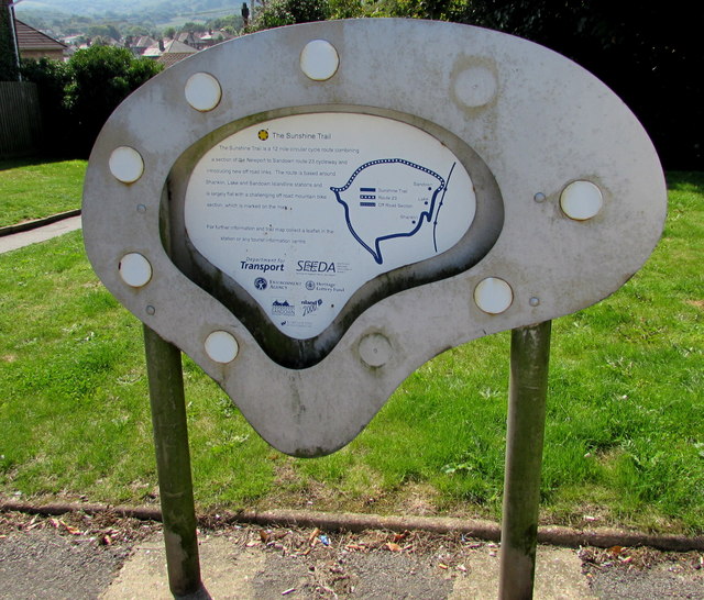
Image: © Jaggery Taken: 22 Aug 2015
Located here. http://www.geograph.org.uk/photo/4628999 The Sunshine Trail is a 19km (12 mile) circular cycle route on the Isle of Wight. It includes a part of the Newport to Sandown National Cycle Network route 23 and new off-road links. The route is based around Sandown, Lake and Shanklin railway stations. The mainly flat route includes a challenging off-road section for mountain bikes.
Images are licensed for reuse under creativecommons.org/licenses/by-sa/2.0
Image Location
Latitude
50.633462
Longitude
-1.180266