Llwybr Brynawel Path
Introduction
The photograph on this page of Llwybr Brynawel Path by Alan Richards as part of the Geograph project.
The Geograph project started in 2005 with the aim of publishing, organising and preserving representative images for every square kilometre of Great Britain, Ireland and the Isle of Man.

There are currently over 7.5m images from over 14,400 individuals and you can help contribute to the project by visiting https://www.geograph.org.uk
Llwybr Brynawel Path
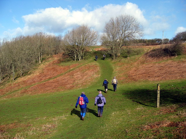
Image: © Alan Richards Taken: 13 Feb 2005
Cerddwyr yn gadael pentre Saint y Brid ac yn anelu at anedd-dy o'r enw Brynawel. Walkers leaving the village of St Brides Major and heading in the direction of a property known as Brynawel (trans. hill breeze).
Images are licensed for reuse under creativecommons.org/licenses/by-sa/2.0
Image Location
Latitude
51.464824
Longitude
-3.588061