Siop y Sgwar
Introduction
The photograph on this page of Siop y Sgwar by Natasha Ceridwen de Chroustchoff as part of the Geograph project.
The Geograph project started in 2005 with the aim of publishing, organising and preserving representative images for every square kilometre of Great Britain, Ireland and the Isle of Man.

There are currently over 7.5m images from over 14,400 individuals and you can help contribute to the project by visiting https://www.geograph.org.uk
Siop y Sgwar
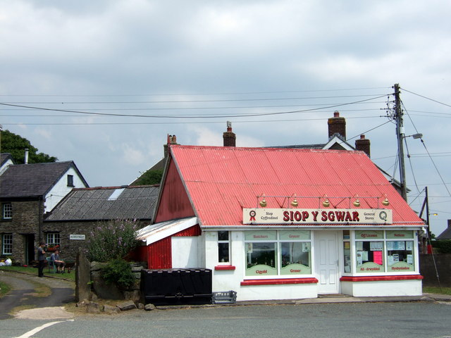
Image: © Natasha Ceridwen de Chroustchoff Taken: 10 Jun 2007
Shop in the square: little changed from the 1950's version https://www.francisfrith.com/maenclochog/maenclochog-the-village-shop-c1955_m203009 photographed for the Francis Frith collection. An indispensable stopping-off point for all your essentials and an information post for local events here in the centre of the village. A far cry from London SE17 where next door's inhabitants appear to have come from: the sign says Ashe Street.
Images are licensed for reuse under creativecommons.org/licenses/by-sa/2.0
Image Location


Leaflet Map data © OpenStreetMap
Latitude
51.911988
Longitude
-4.787511