Towards South Kingwell
Introduction
The photograph on this page of Towards South Kingwell by Martin Bodman as part of the Geograph project.
The Geograph project started in 2005 with the aim of publishing, organising and preserving representative images for every square kilometre of Great Britain, Ireland and the Isle of Man.

There are currently over 7.5m images from over 14,400 individuals and you can help contribute to the project by visiting https://www.geograph.org.uk
Towards South Kingwell
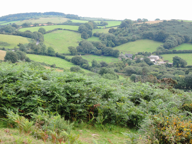
Image: © Martin Bodman Taken: 22 Aug 2015
The road to Doccombe, Dunsford and Exeter can be seen winding uphill on the left. In Moretonhampstead parish
Images are licensed for reuse under creativecommons.org/licenses/by-sa/2.0
Image Location
Latitude
50.663876
Longitude
-3.74214