The A482 near Lampeter, Ceredigion
Introduction
The photograph on this page of The A482 near Lampeter, Ceredigion by Roger D Kidd as part of the Geograph project.
The Geograph project started in 2005 with the aim of publishing, organising and preserving representative images for every square kilometre of Great Britain, Ireland and the Isle of Man.

There are currently over 7.5m images from over 14,400 individuals and you can help contribute to the project by visiting https://www.geograph.org.uk
The A482 near Lampeter, Ceredigion
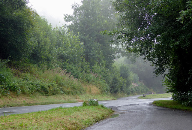
Image: © Roger D Kidd Taken: 14 Aug 2015
Looking towards Lampeter (Llanbedr Pont Steffan) some of the former road meanders are now as lay-bys, seen here on a dull wet morning!
Images are licensed for reuse under creativecommons.org/licenses/by-sa/2.0
Image Location
Latitude
52.125478
Longitude
-4.098215