Long Field
Introduction
The photograph on this page of Long Field by Simon Carey as part of the Geograph project.
The Geograph project started in 2005 with the aim of publishing, organising and preserving representative images for every square kilometre of Great Britain, Ireland and the Isle of Man.

There are currently over 7.5m images from over 14,400 individuals and you can help contribute to the project by visiting https://www.geograph.org.uk
Long Field
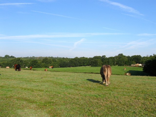
Image: © Simon Carey Taken: 22 Aug 2015
The name of the field according to Lindfield's 1845 tithe map that is located on the western side of Ham Lane with Strawberry Wood to the north and Image to the south. The field beyond was once Eastland Wood.
Images are licensed for reuse under creativecommons.org/licenses/by-sa/2.0
Image Location


Leaflet Map data © OpenStreetMap
Latitude
50.990381
Longitude
-0.060601