A neglected field between Tring and Drayton Beauchamp
Introduction
The photograph on this page of A neglected field between Tring and Drayton Beauchamp by Chris Reynolds as part of the Geograph project.
The Geograph project started in 2005 with the aim of publishing, organising and preserving representative images for every square kilometre of Great Britain, Ireland and the Isle of Man.

There are currently over 7.5m images from over 14,400 individuals and you can help contribute to the project by visiting https://www.geograph.org.uk
A neglected field between Tring and Drayton Beauchamp
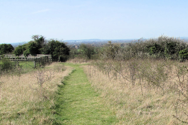
Image: © Chris Reynolds Taken: 1 Apr 2012
While the footpath has been kept clear what was once a normal meadow is beginning toe grow hawthorn trees - the first stage of reverting to woodland. The Vale of Aylesbury can be seen in the distance.
Images are licensed for reuse under creativecommons.org/licenses/by-sa/2.0
Image Location
Latitude
51.795161
Longitude
-0.68579