Doles Lane
Introduction
The photograph on this page of Doles Lane by Jonathan Thacker as part of the Geograph project.
The Geograph project started in 2005 with the aim of publishing, organising and preserving representative images for every square kilometre of Great Britain, Ireland and the Isle of Man.

There are currently over 7.5m images from over 14,400 individuals and you can help contribute to the project by visiting https://www.geograph.org.uk
Doles Lane
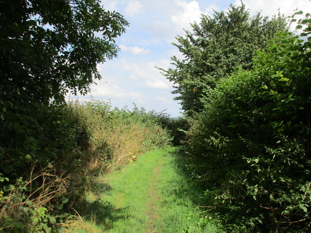
Image: © Jonathan Thacker Taken: 22 Aug 2015
Part of Doles Lane is suburban Whitwell but most is a pleasant footpath (though the OS classification suggests it could be used by vehicles - except for those with only two wheels this is clearly not the case).
Images are licensed for reuse under creativecommons.org/licenses/by-sa/2.0
Image Location
Latitude
53.286842
Longitude
-1.201204