A836, Reay
Introduction
The photograph on this page of A836, Reay by Richard Webb as part of the Geograph project.
The Geograph project started in 2005 with the aim of publishing, organising and preserving representative images for every square kilometre of Great Britain, Ireland and the Isle of Man.

There are currently over 7.5m images from over 14,400 individuals and you can help contribute to the project by visiting https://www.geograph.org.uk
A836, Reay
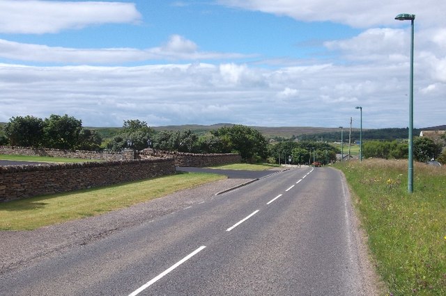
Image: © Richard Webb Taken: 7 Aug 2015
Westward through the very linear settlement of Reay. Drum Hollistan, where Sutherland starts is in the background.
Images are licensed for reuse under creativecommons.org/licenses/by-sa/2.0
Image Location
Latitude
58.56009
Longitude
-3.77188