Looking across the valley of Mill Burn
Introduction
The photograph on this page of Looking across the valley of Mill Burn by Russel Wills as part of the Geograph project.
The Geograph project started in 2005 with the aim of publishing, organising and preserving representative images for every square kilometre of Great Britain, Ireland and the Isle of Man.

There are currently over 7.5m images from over 14,400 individuals and you can help contribute to the project by visiting https://www.geograph.org.uk
Looking across the valley of Mill Burn
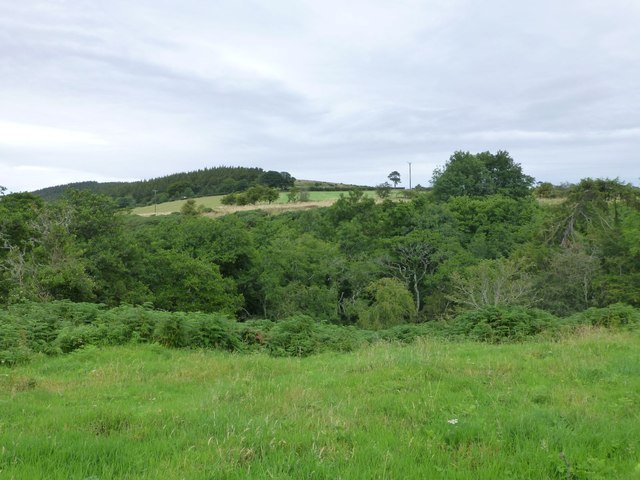
Image: © Russel Wills Taken: 22 Aug 2015
Beyond the valley is Chattonpark Hill with its cup and ring marked rocks.
Images are licensed for reuse under creativecommons.org/licenses/by-sa/2.0
Image Location


Leaflet Map data © OpenStreetMap
Latitude
55.549064
Longitude
-1.879359