The End of the Line
Introduction
The photograph on this page of The End of the Line by Andrew Tryon as part of the Geograph project.
The Geograph project started in 2005 with the aim of publishing, organising and preserving representative images for every square kilometre of Great Britain, Ireland and the Isle of Man.

There are currently over 7.5m images from over 14,400 individuals and you can help contribute to the project by visiting https://www.geograph.org.uk
The End of the Line
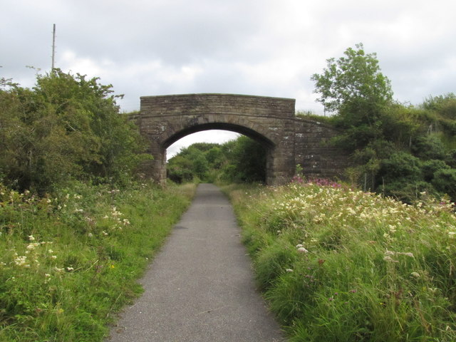
Image: © Andrew Tryon Taken: 19 Aug 2015
The current cycle route along the disused railway ends just after the arch bridge. Beyond this point the route of the disused line continues to disused military base at Broughton Moor. The cycle route itself connects onto the footpath that crosses over the bridge.
Images are licensed for reuse under creativecommons.org/licenses/by-sa/2.0
Image Location
Latitude
54.669026
Longitude
-3.483527