OS benchmark - Merridale, 43 Finchfield Road
Introduction
The photograph on this page of OS benchmark - Merridale, 43 Finchfield Road by Richard Law as part of the Geograph project.
The Geograph project started in 2005 with the aim of publishing, organising and preserving representative images for every square kilometre of Great Britain, Ireland and the Isle of Man.

There are currently over 7.5m images from over 14,400 individuals and you can help contribute to the project by visiting https://www.geograph.org.uk
OS benchmark - Merridale, 43 Finchfield Road
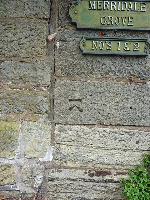
Image: © Richard Law Taken: 3 Aug 2015
A rather 'non-standard' benchmark cut into the wall near to 43 Finchfield Road; if this is indeed the original OS mark, then it was levelled at 129.266m above Ordnance Datum Newlyn.
Images are licensed for reuse under creativecommons.org/licenses/by-sa/2.0
Image Location
Latitude
52.580761
Longitude
-2.15667