Brynhyfryd, Llangennech
Introduction
The photograph on this page of Brynhyfryd, Llangennech by Jaggery as part of the Geograph project.
The Geograph project started in 2005 with the aim of publishing, organising and preserving representative images for every square kilometre of Great Britain, Ireland and the Isle of Man.

There are currently over 7.5m images from over 14,400 individuals and you can help contribute to the project by visiting https://www.geograph.org.uk
Brynhyfryd, Llangennech
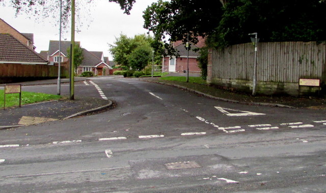
Image: © Jaggery Taken: 20 Aug 2015
Viewed across Hendre Road. The street name signs show that Brynhyfryd leads to Pencoed.
Images are licensed for reuse under creativecommons.org/licenses/by-sa/2.0
Image Location
Latitude
51.689864
Longitude
-4.089722