Pillbox, Forton
Introduction
The photograph on this page of Pillbox, Forton by Derek Harper as part of the Geograph project.
The Geograph project started in 2005 with the aim of publishing, organising and preserving representative images for every square kilometre of Great Britain, Ireland and the Isle of Man.

There are currently over 7.5m images from over 14,400 individuals and you can help contribute to the project by visiting https://www.geograph.org.uk
Pillbox, Forton
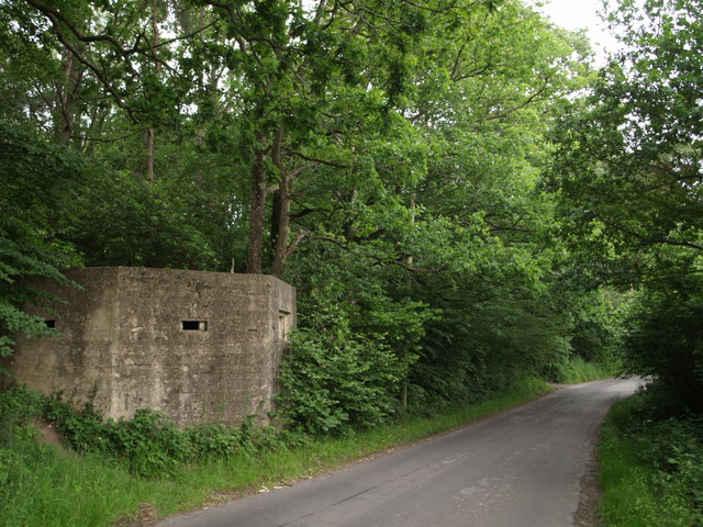
Image: © Derek Harper Taken: 10 Jun 2007
This pillbox, forming part of the Second World War Taunton stop line, is described at http://webapp1.somerset.gov.uk/her/details.asp?prn=55206 . Another similar one is only about 50 metres northeast. The lane is heading from Forton towards Forde Abbey.
Images are licensed for reuse under creativecommons.org/licenses/by-sa/2.0
Image Location
Latitude
50.857953
Longitude
-2.934806