Junction for West Knoyle
Introduction
The photograph on this page of Junction for West Knoyle by Phil Williams as part of the Geograph project.
The Geograph project started in 2005 with the aim of publishing, organising and preserving representative images for every square kilometre of Great Britain, Ireland and the Isle of Man.

There are currently over 7.5m images from over 14,400 individuals and you can help contribute to the project by visiting https://www.geograph.org.uk
Junction for West Knoyle
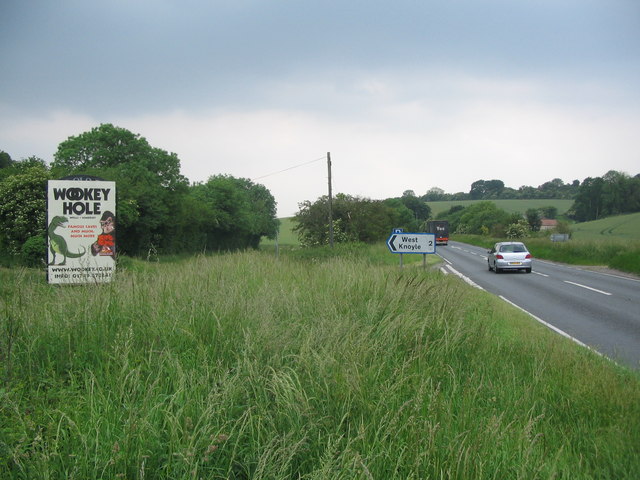
Image: © Phil Williams Taken: 10 Jun 2007
A view looking to the southwest along the A303 towards the junction with the lane to West Knoyle. The rooftop of Pitching Piece Barn can be seen on the right.
Images are licensed for reuse under creativecommons.org/licenses/by-sa/2.0
Image Location
Latitude
51.096356
Longitude
-2.227008