Lee Road Bacup
Introduction
The photograph on this page of Lee Road Bacup by Robert Wade as part of the Geograph project.
The Geograph project started in 2005 with the aim of publishing, organising and preserving representative images for every square kilometre of Great Britain, Ireland and the Isle of Man.

There are currently over 7.5m images from over 14,400 individuals and you can help contribute to the project by visiting https://www.geograph.org.uk
Lee Road Bacup
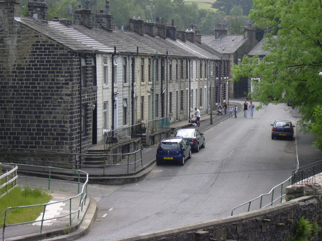
Image: © Robert Wade Taken: 10 Jun 2007
View has changed beyond recognition due to the railway bridge being demolished. River Irwell is on right
Images are licensed for reuse under creativecommons.org/licenses/by-sa/2.0
Image Location
Latitude
53.692192
Longitude
-2.210006