Barn conversion beside Chitty Hill
Introduction
The photograph on this page of Barn conversion beside Chitty Hill by Roger Templeman as part of the Geograph project.
The Geograph project started in 2005 with the aim of publishing, organising and preserving representative images for every square kilometre of Great Britain, Ireland and the Isle of Man.

There are currently over 7.5m images from over 14,400 individuals and you can help contribute to the project by visiting https://www.geograph.org.uk
Barn conversion beside Chitty Hill
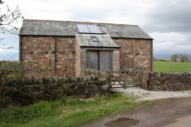
Image: © Roger Templeman Taken: 13 May 2015
There is an OS benchmark Image on the front of the porch jut, visible through the top two bars of the left hand gate
Images are licensed for reuse under creativecommons.org/licenses/by-sa/2.0
Image Location
Latitude
54.571281
Longitude
-2.566244