Children?s playground, Bridgefield housing estate
Introduction
The photograph on this page of Children?s playground, Bridgefield housing estate by John Baker as part of the Geograph project.
The Geograph project started in 2005 with the aim of publishing, organising and preserving representative images for every square kilometre of Great Britain, Ireland and the Isle of Man.

There are currently over 7.5m images from over 14,400 individuals and you can help contribute to the project by visiting https://www.geograph.org.uk
Children?s playground, Bridgefield housing estate
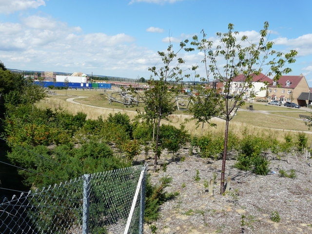
Image: © John Baker Taken: 19 Jul 2015
Compared with Image, the trees, in leaf, greatly obscure the view of the playground, which is from a ramp that carries a path, over the Ashford to Hastings railway line and the A2070, into the Park Farm housing estate. The houses across the playground are in Finn Farm Road.
Images are licensed for reuse under creativecommons.org/licenses/by-sa/2.0
Image Location
Latitude
51.113695
Longitude
0.880734