North Downs Way heading East towards Rayners Hill
Introduction
The photograph on this page of North Downs Way heading East towards Rayners Hill by Chris Heaton as part of the Geograph project.
The Geograph project started in 2005 with the aim of publishing, organising and preserving representative images for every square kilometre of Great Britain, Ireland and the Isle of Man.

There are currently over 7.5m images from over 14,400 individuals and you can help contribute to the project by visiting https://www.geograph.org.uk
North Downs Way heading East towards Rayners Hill
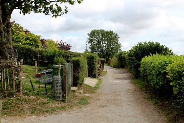
Image: © Chris Heaton Taken: 10 Aug 2015
Track adopted by the National Trail, the ancient Pilgrims' Way and Cycle Route No 17.
Images are licensed for reuse under creativecommons.org/licenses/by-sa/2.0
Image Location
Latitude
51.23683
Longitude
0.749876