Power Lines at Lower Corry
Introduction
The photograph on this page of Power Lines at Lower Corry by Nigel Mykura as part of the Geograph project.
The Geograph project started in 2005 with the aim of publishing, organising and preserving representative images for every square kilometre of Great Britain, Ireland and the Isle of Man.

There are currently over 7.5m images from over 14,400 individuals and you can help contribute to the project by visiting https://www.geograph.org.uk
Power Lines at Lower Corry
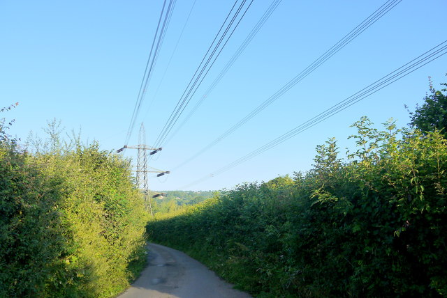
Image: © Nigel Mykura Taken: 7 Aug 2015
This power line runs from a very large substation at Broadclyst in the Clyst valley just north of Exeter to a small substation near Axminster. The lane under them is the minor road from Dalwood to Stockland.
Images are licensed for reuse under creativecommons.org/licenses/by-sa/2.0
Image Location
Latitude
50.804997
Longitude
-3.069564