Waymarker, Farnham Park
Introduction
The photograph on this page of Waymarker, Farnham Park by Alan Hunt as part of the Geograph project.
The Geograph project started in 2005 with the aim of publishing, organising and preserving representative images for every square kilometre of Great Britain, Ireland and the Isle of Man.

There are currently over 7.5m images from over 14,400 individuals and you can help contribute to the project by visiting https://www.geograph.org.uk
Waymarker, Farnham Park
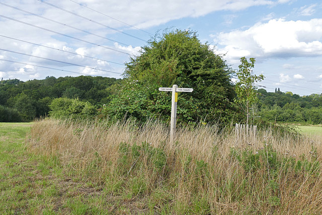
Image: © Alan Hunt Taken: 15 Aug 2015
A waymarker on the public right of way running from Hog Hatch to Farnham Town.
Images are licensed for reuse under creativecommons.org/licenses/by-sa/2.0
Image Location


Leaflet Map data © OpenStreetMap
Latitude
51.227854
Longitude
-0.802837