The Eunant valley below Eunant House
Introduction
The photograph on this page of The Eunant valley below Eunant House by Nigel Brown as part of the Geograph project.
The Geograph project started in 2005 with the aim of publishing, organising and preserving representative images for every square kilometre of Great Britain, Ireland and the Isle of Man.

There are currently over 7.5m images from over 14,400 individuals and you can help contribute to the project by visiting https://www.geograph.org.uk
The Eunant valley below Eunant House
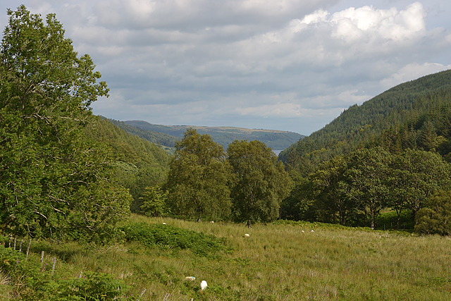
Image: © Nigel Brown Taken: 18 Aug 2015
A mixture of fields, now morphing into rough grazing, and woodland. Lake Vyrnwy can be seen in the distance.
Images are licensed for reuse under creativecommons.org/licenses/by-sa/2.0
Image Location
Latitude
52.791116
Longitude
-3.548889