Doune of Invernochty
Introduction
The photograph on this page of Doune of Invernochty by Carron K as part of the Geograph project.
The Geograph project started in 2005 with the aim of publishing, organising and preserving representative images for every square kilometre of Great Britain, Ireland and the Isle of Man.

There are currently over 7.5m images from over 14,400 individuals and you can help contribute to the project by visiting https://www.geograph.org.uk
Doune of Invernochty
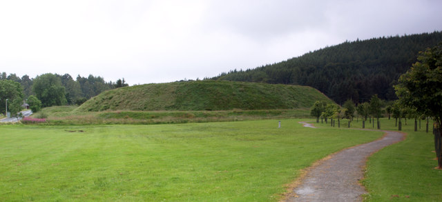
Image: © Carron K Taken: 15 Aug 2015
An earthen castle mound, dating from the 12th century.
Images are licensed for reuse under creativecommons.org/licenses/by-sa/2.0
Image Location
Latitude
57.202931
Longitude
-3.074463