Float Lane
Introduction
The photograph on this page of Float Lane by Marathon as part of the Geograph project.
The Geograph project started in 2005 with the aim of publishing, organising and preserving representative images for every square kilometre of Great Britain, Ireland and the Isle of Man.

There are currently over 7.5m images from over 14,400 individuals and you can help contribute to the project by visiting https://www.geograph.org.uk
Float Lane
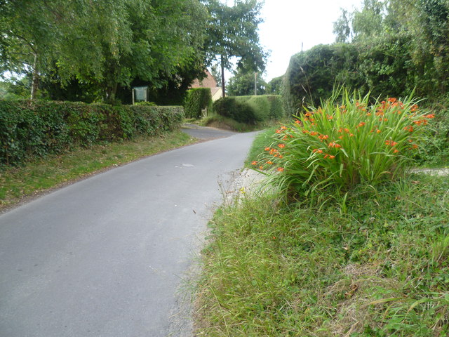
Image: © Marathon Taken: 15 Aug 2015
Float Lane has come up to the top of the scarp slope here above the valley of the River Brede and meets Udimore Road (B2089) just ahead.
Images are licensed for reuse under creativecommons.org/licenses/by-sa/2.0
Image Location
Latitude
50.938
Longitude
0.666293