Eastern Road, Lindfield
Introduction
The photograph on this page of Eastern Road, Lindfield by Simon Carey as part of the Geograph project.
The Geograph project started in 2005 with the aim of publishing, organising and preserving representative images for every square kilometre of Great Britain, Ireland and the Isle of Man.

There are currently over 7.5m images from over 14,400 individuals and you can help contribute to the project by visiting https://www.geograph.org.uk
Eastern Road, Lindfield
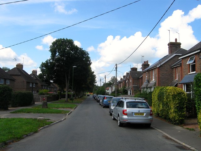
Image: © Simon Carey Taken: 15 Aug 2015
Originally built as an access road for a sewage works which is now part of Image the earliest houses were built on the western side in the late 19th century with all of the eastern side constructed by the council after the First World War.
Images are licensed for reuse under creativecommons.org/licenses/by-sa/2.0
Image Location
Latitude
51.010066
Longitude
-0.076317