Outbuildings, Seven Acres, Gravelye Lane, Lindfield
Introduction
The photograph on this page of Outbuildings, Seven Acres, Gravelye Lane, Lindfield by Simon Carey as part of the Geograph project.
The Geograph project started in 2005 with the aim of publishing, organising and preserving representative images for every square kilometre of Great Britain, Ireland and the Isle of Man.

There are currently over 7.5m images from over 14,400 individuals and you can help contribute to the project by visiting https://www.geograph.org.uk
Outbuildings, Seven Acres, Gravelye Lane, Lindfield
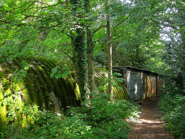
Image: © Simon Carey Taken: 15 Aug 2015
A mish mash of styles next to the footpath that links Gravelye Lane to Walstead. They look derelict but do appear to be in use.
Images are licensed for reuse under creativecommons.org/licenses/by-sa/2.0
Image Location
Latitude
51.003794
Longitude
-0.077717