Beanit Farm, Hob Lane
Introduction
The photograph on this page of Beanit Farm, Hob Lane by David Stowell as part of the Geograph project.
The Geograph project started in 2005 with the aim of publishing, organising and preserving representative images for every square kilometre of Great Britain, Ireland and the Isle of Man.

There are currently over 7.5m images from over 14,400 individuals and you can help contribute to the project by visiting https://www.geograph.org.uk
Beanit Farm, Hob Lane
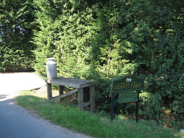
Image: © David Stowell Taken: 30 Aug 2005
A once familiar scene at the entrance to the farm with a milk churn still apparently awaiting collection!
Images are licensed for reuse under creativecommons.org/licenses/by-sa/2.0
Image Location
Latitude
52.378744
Longitude
-1.62535