Barns in Woodmancote
Introduction
The photograph on this page of Barns in Woodmancote by Graham Horn as part of the Geograph project.
The Geograph project started in 2005 with the aim of publishing, organising and preserving representative images for every square kilometre of Great Britain, Ireland and the Isle of Man.

There are currently over 7.5m images from over 14,400 individuals and you can help contribute to the project by visiting https://www.geograph.org.uk
Barns in Woodmancote
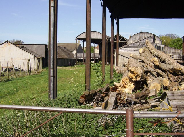
Image: © Graham Horn Taken: 30 Apr 2007
There were a whole series of hay barns here, now empty as spring has arrived, but this one is temporarily storing wood from fallen trees. The Macmillan Way passes the farm.
Images are licensed for reuse under creativecommons.org/licenses/by-sa/2.0
Image Location
Latitude
51.779845
Longitude
-1.99401