Debach village sign
Introduction
The photograph on this page of Debach village sign by Adrian S Pye as part of the Geograph project.
The Geograph project started in 2005 with the aim of publishing, organising and preserving representative images for every square kilometre of Great Britain, Ireland and the Isle of Man.

There are currently over 7.5m images from over 14,400 individuals and you can help contribute to the project by visiting https://www.geograph.org.uk
Debach village sign
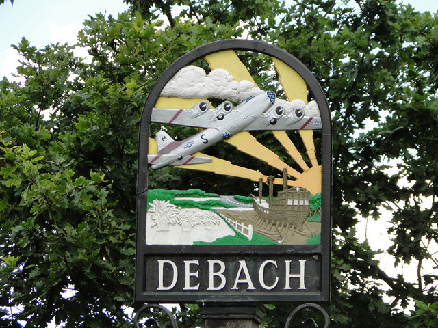
Image: © Adrian S Pye Taken: 17 Aug 2015
Debach, pronounced deb-itch, is a small village which during WW2 had an American airbase with the 493rd Bomb Group (Heavy) within its bounds. A B17 Flying Fortress is prominently featured on the sign along with a boat being built, which would suggest that at sometime in the past the parish was connected to the sea by the River Deben. A small plaque to the Airbase is at the foot of the sign and can be viewed here > https://www.geograph.org.uk/photo/1029747
Images are licensed for reuse under creativecommons.org/licenses/by-sa/2.0
Image Location
Latitude
52.142551
Longitude
1.275583