Underpass at Lower Headley
Introduction
The photograph on this page of Underpass at Lower Headley by Stephen Craven as part of the Geograph project.
The Geograph project started in 2005 with the aim of publishing, organising and preserving representative images for every square kilometre of Great Britain, Ireland and the Isle of Man.

There are currently over 7.5m images from over 14,400 individuals and you can help contribute to the project by visiting https://www.geograph.org.uk
Underpass at Lower Headley
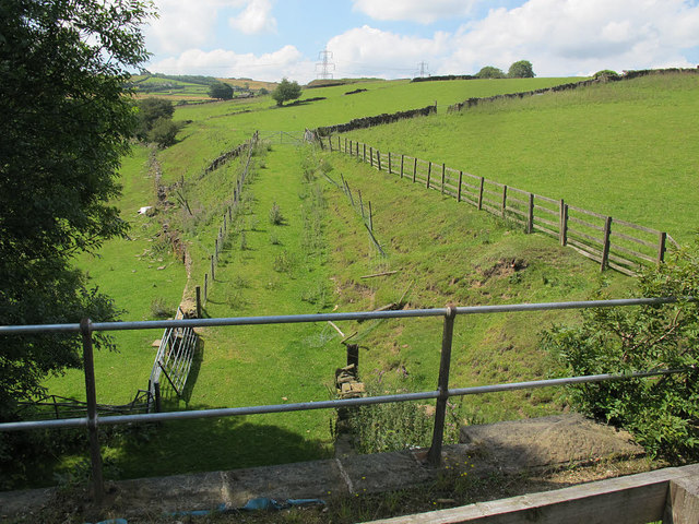
Image: © Stephen Craven Taken: 8 Aug 2015
The access track from Lower Headley farm to its associated fields passes under the old railway line.
Images are licensed for reuse under creativecommons.org/licenses/by-sa/2.0
Image Location
Latitude
53.784772
Longitude
-1.851684