Approaching Weavers Bridge
Introduction
The photograph on this page of Approaching Weavers Bridge by Rude Health as part of the Geograph project.
The Geograph project started in 2005 with the aim of publishing, organising and preserving representative images for every square kilometre of Great Britain, Ireland and the Isle of Man.

There are currently over 7.5m images from over 14,400 individuals and you can help contribute to the project by visiting https://www.geograph.org.uk
Approaching Weavers Bridge
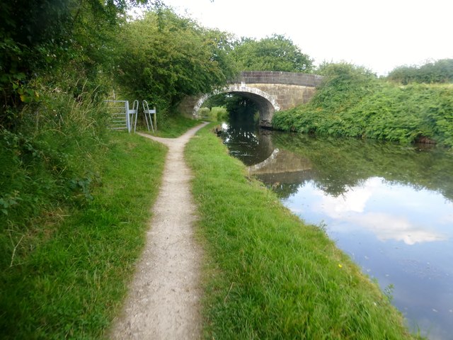
Image: © Rude Health Taken: 17 Aug 2015
Weavers Bridge is Bridge 65 on the Leeds-Liverpool Canal and is also known locally as the Anderton Bridge.
Images are licensed for reuse under creativecommons.org/licenses/by-sa/2.0
Image Location
Latitude
53.59777
Longitude
-2.614485