Steps down from Woodsley Fold
Introduction
The photograph on this page of Steps down from Woodsley Fold by Stephen Craven as part of the Geograph project.
The Geograph project started in 2005 with the aim of publishing, organising and preserving representative images for every square kilometre of Great Britain, Ireland and the Isle of Man.

There are currently over 7.5m images from over 14,400 individuals and you can help contribute to the project by visiting https://www.geograph.org.uk
Steps down from Woodsley Fold
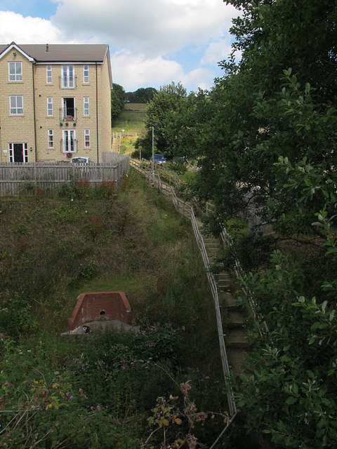
Image: © Stephen Craven Taken: 8 Aug 2015
A section of the historic footpath from Thornton Road to Alderscholes Lane running through the new housing estate at Woodsley Fold has been equipped with steps.
Images are licensed for reuse under creativecommons.org/licenses/by-sa/2.0
Image Location
Latitude
53.790989
Longitude
-1.864716