The closure of Little Knoll
Introduction
The photograph on this page of The closure of Little Knoll by John Baker as part of the Geograph project.
The Geograph project started in 2005 with the aim of publishing, organising and preserving representative images for every square kilometre of Great Britain, Ireland and the Isle of Man.

There are currently over 7.5m images from over 14,400 individuals and you can help contribute to the project by visiting https://www.geograph.org.uk
The closure of Little Knoll
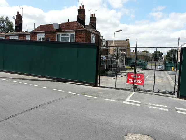
Image: © John Baker Taken: 19 Jul 2015
The road has been closed due to the precarious state of the fire-damaged house, situated on the corner of this road and Oak Tree Road.
Images are licensed for reuse under creativecommons.org/licenses/by-sa/2.0
Image Location
Latitude
51.141192
Longitude
0.856138