Morrisons, America Lane, Haywards Heath
Introduction
The photograph on this page of Morrisons, America Lane, Haywards Heath by Simon Carey as part of the Geograph project.
The Geograph project started in 2005 with the aim of publishing, organising and preserving representative images for every square kilometre of Great Britain, Ireland and the Isle of Man.

There are currently over 7.5m images from over 14,400 individuals and you can help contribute to the project by visiting https://www.geograph.org.uk
Morrisons, America Lane, Haywards Heath
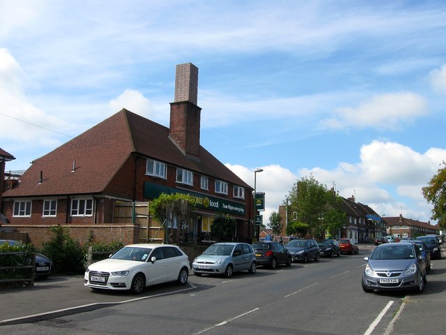
Image: © Simon Carey Taken: 15 Aug 2015
Opened in 2014 on the site of a former pub that began its life as the Pilgrim in 1951 later became the Golden Eagle, see Image, and spent its last years as the Mayflower before closing in 2012. Beyond is Image
Images are licensed for reuse under creativecommons.org/licenses/by-sa/2.0
Image Location
Latitude
51.001179
Longitude
-0.088229