Fields at Lower Corry
Introduction
The photograph on this page of Fields at Lower Corry by Nigel Mykura as part of the Geograph project.
The Geograph project started in 2005 with the aim of publishing, organising and preserving representative images for every square kilometre of Great Britain, Ireland and the Isle of Man.

There are currently over 7.5m images from over 14,400 individuals and you can help contribute to the project by visiting https://www.geograph.org.uk
Fields at Lower Corry
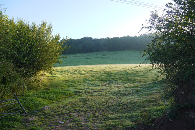
Image: © Nigel Mykura Taken: 7 Aug 2015
These steep sloping pasture fields with the bright early morning sun on the fresh dew are on the western slopes of Horner Hill, viewed through an open gateway from the minor road between Dalwood Lane and Pennyhill Farm. The wood in the distance is Putt's Copse.
Images are licensed for reuse under creativecommons.org/licenses/by-sa/2.0
Image Location
Latitude
50.805281
Longitude
-3.068009