Penn Crescent, Haywards Heath
Introduction
The photograph on this page of Penn Crescent, Haywards Heath by Simon Carey as part of the Geograph project.
The Geograph project started in 2005 with the aim of publishing, organising and preserving representative images for every square kilometre of Great Britain, Ireland and the Isle of Man.

There are currently over 7.5m images from over 14,400 individuals and you can help contribute to the project by visiting https://www.geograph.org.uk
Penn Crescent, Haywards Heath
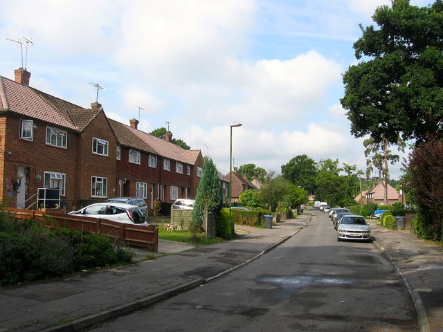
Image: © Simon Carey Taken: 15 Aug 2015
Running in a crescent shape north of Washington Road and developed sometime between 1947 and 1955 on the northern end of Bent's Wood. Most of the road names in this part of Haywards Heath, that was originally in the parish of Lindfield up to the 1930s, either have connections to America, the name given to the former smallholding settlement set up by William Allen, or quakers, which Allen was one, or indeed Allen himself. The exceptions are Barn Cottage Lane and Bentswood Crescent named after local places.
Images are licensed for reuse under creativecommons.org/licenses/by-sa/2.0
Image Location
Latitude
51.003808
Longitude
-0.089546