Portland Close, Haywards Heath
Introduction
The photograph on this page of Portland Close, Haywards Heath by Simon Carey as part of the Geograph project.
The Geograph project started in 2005 with the aim of publishing, organising and preserving representative images for every square kilometre of Great Britain, Ireland and the Isle of Man.

There are currently over 7.5m images from over 14,400 individuals and you can help contribute to the project by visiting https://www.geograph.org.uk
Portland Close, Haywards Heath
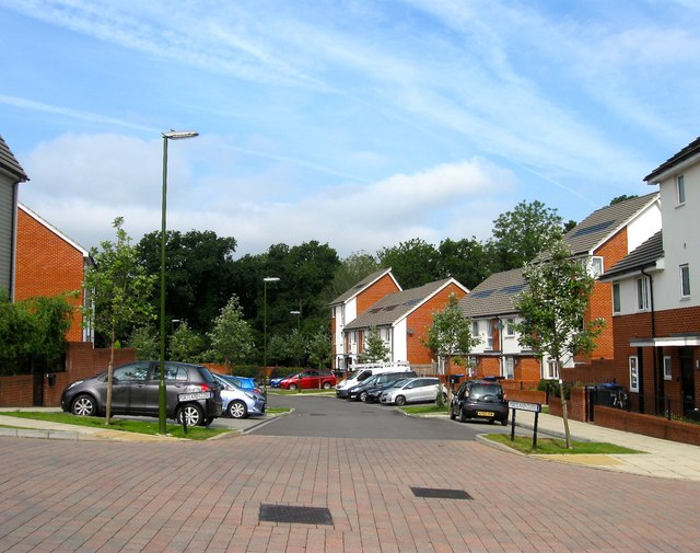
Image: © Simon Carey Taken: 15 Aug 2015
A small cul de sac off Woodstock Place and part of a new development completed in 2013 on the site of a former council estate called Wilmington Way. The close has been built on an area that previously was a car park and open play space. Originally an open field called Furze Field on Lindfield's 1845 tithe map that was transferred to Haywards Heath during the 1930s. To the north is what is now the Scrase Valley Nature Reserve, to the south was the original course of America Lane, see Image, whilst to the west was Bent's Wood. During the Second World War the field was turned into allotments and after the conflict the southern end adjacent to the lane was developed with prefabs. This remained the case until the end of the 1960s when a new estate was built. Wilmington Way was another temporary measure designed to last twenty years but ending up being in place for nearly forty, the exception being a set of flats at the northern end that have remained. In 2008 a decision was taken to demolish the estate and rebuild again with the new estate roughly following the old road routes as well as a green strip that has been retained running north-south through the estate. For the former Wilmngton Way, taken in 2007, see: Image Image Image For the site after demolition, taken in 2011, see: Image Image Image For the current estate, taken in 2015, see: Image Image Image Image Image Image
Images are licensed for reuse under creativecommons.org/licenses/by-sa/2.0
Image Location
Latitude
51.003667
Longitude
-0.086416