Ash trees and red earth
Introduction
The photograph on this page of Ash trees and red earth by Graham Horn as part of the Geograph project.
The Geograph project started in 2005 with the aim of publishing, organising and preserving representative images for every square kilometre of Great Britain, Ireland and the Isle of Man.

There are currently over 7.5m images from over 14,400 individuals and you can help contribute to the project by visiting https://www.geograph.org.uk
Ash trees and red earth
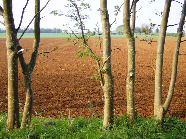
Image: © Graham Horn Taken: 27 Apr 2007
From a track to the west of Sugarswell Lane, this view looks north. The ploughed field shows the red sandstone of the area. This is the plateau above the Edge Hill escarpment (beyond the trees to the left) and the gentler slopes beyond the road to the right. This is the main watershed of England, but water falling here will probably filter straight down rather than go west or east.
Images are licensed for reuse under creativecommons.org/licenses/by-sa/2.0
Image Location
Latitude
52.099135
Longitude
-1.480689