Ash trees and red earth
Introduction
The photograph on this page of Ash trees and red earth by Graham Horn as part of the Geograph project.
The Geograph project started in 2005 with the aim of publishing, organising and preserving representative images for every square kilometre of Great Britain, Ireland and the Isle of Man.

There are currently over 7.5m images from over 14,400 individuals and you can help contribute to the project by visiting https://www.geograph.org.uk
Ash trees and red earth
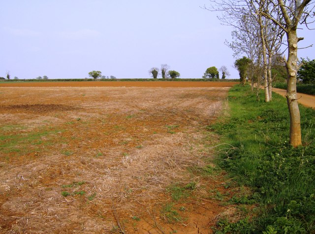
Image: © Graham Horn Taken: 27 Apr 2007
Heading east along the track from Old Lodge Farm to join Sugarswell Lane. This is the plateau behind Edge Hill and its soil is a particularly red sandstone.
Images are licensed for reuse under creativecommons.org/licenses/by-sa/2.0
Image Location
Latitude
52.098423
Longitude
-1.482449