Permissive path for Macmillan Way
Introduction
The photograph on this page of Permissive path for Macmillan Way by Graham Horn as part of the Geograph project.
The Geograph project started in 2005 with the aim of publishing, organising and preserving representative images for every square kilometre of Great Britain, Ireland and the Isle of Man.

There are currently over 7.5m images from over 14,400 individuals and you can help contribute to the project by visiting https://www.geograph.org.uk
Permissive path for Macmillan Way
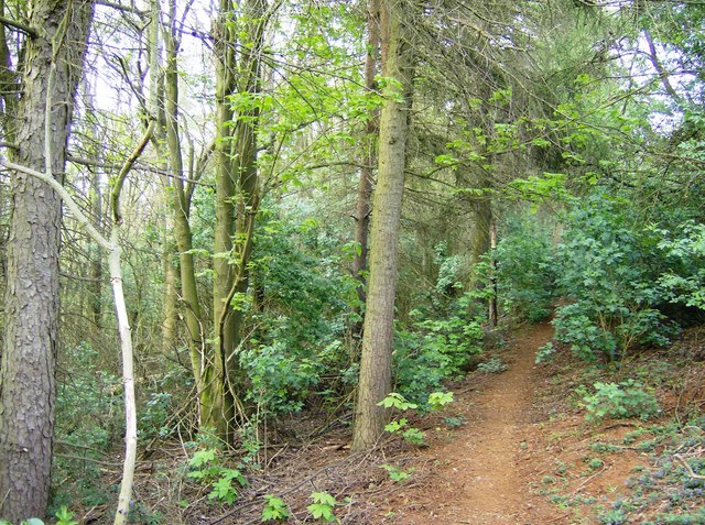
Image: © Graham Horn Taken: 27 Apr 2007
The Macmillan Way is allowed to use a permissive path, in light woodland, continuing along the top of the scarp slope of Edge Hill.
Images are licensed for reuse under creativecommons.org/licenses/by-sa/2.0
Image Location
Latitude
52.101481
Longitude
-1.482705