Meadow, Pen-rhiw Bengi Farm
Introduction
The photograph on this page of Meadow, Pen-rhiw Bengi Farm by M J Roscoe as part of the Geograph project.
The Geograph project started in 2005 with the aim of publishing, organising and preserving representative images for every square kilometre of Great Britain, Ireland and the Isle of Man.

There are currently over 7.5m images from over 14,400 individuals and you can help contribute to the project by visiting https://www.geograph.org.uk
Meadow, Pen-rhiw Bengi Farm
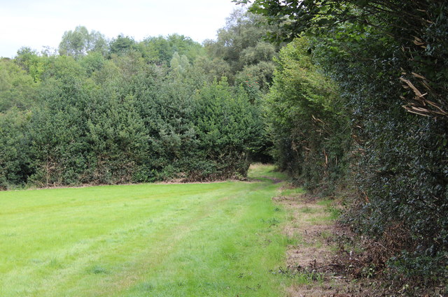
Image: © M J Roscoe Taken: 16 Aug 2015
Meadow, recently cut, behind Pen-rhiw Bengi Farm; field footpath runs alongside hedgerow on right of picture. The field behind the hedgerow in the background is part of a Site of Importance for Nature Conservation, Pen-Rhiw Bengi Marsh.
Images are licensed for reuse under creativecommons.org/licenses/by-sa/2.0
Image Location
Latitude
51.68218
Longitude
-3.173716