The Gibridding Incline on the Woodhead Tramroad
Introduction
The photograph on this page of The Gibridding Incline on the Woodhead Tramroad by Ian Calderwood as part of the Geograph project.
The Geograph project started in 2005 with the aim of publishing, organising and preserving representative images for every square kilometre of Great Britain, Ireland and the Isle of Man.

There are currently over 7.5m images from over 14,400 individuals and you can help contribute to the project by visiting https://www.geograph.org.uk
The Gibridding Incline on the Woodhead Tramroad
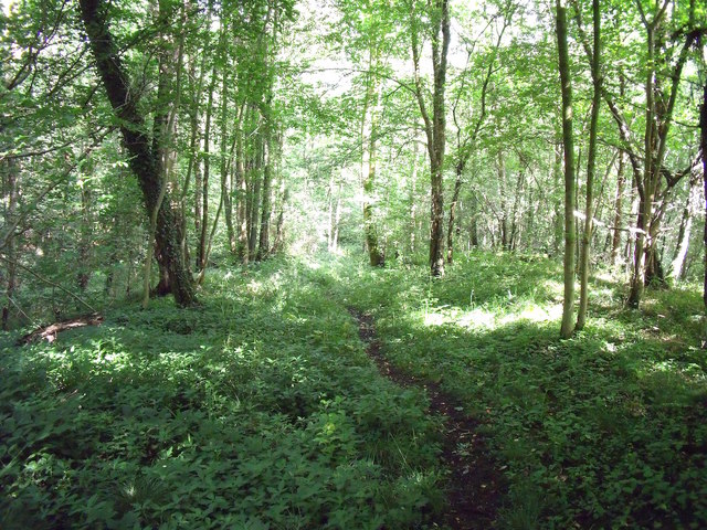
Image: © Ian Calderwood Taken: 15 Aug 2015
One of the paths through Gibridding Wood follows part of the line of the Gibridding Incline. An inclined plane was required to let coal wagons down from the valley side to the valley bottom. This incline was probably self-acting, in which the descending loaded wagons are linked to ascending empties by a continuous rope or chain, controlled by a brake. The loaded wagons, with their greater weight, thus, pull the empties up as they descend.
Images are licensed for reuse under creativecommons.org/licenses/by-sa/2.0
Image Location
Latitude
53.000512
Longitude
-1.953767