The Woodhead Tramroad
Introduction
The photograph on this page of The Woodhead Tramroad by Ian Calderwood as part of the Geograph project.
The Geograph project started in 2005 with the aim of publishing, organising and preserving representative images for every square kilometre of Great Britain, Ireland and the Isle of Man.

There are currently over 7.5m images from over 14,400 individuals and you can help contribute to the project by visiting https://www.geograph.org.uk
The Woodhead Tramroad
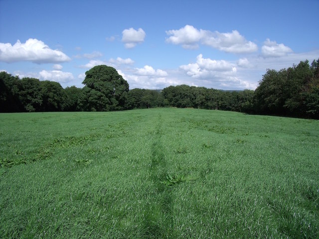
Image: © Ian Calderwood Taken: 15 Aug 2015
This low embankment, traced out by my footsteps across the damp grass of Gibridding Field, once carried the Woodhead Tramroad to the top of the inclined plane in Gibridding Wood.
Images are licensed for reuse under creativecommons.org/licenses/by-sa/2.0
Image Location


Leaflet Map data © OpenStreetMap
Latitude
53.000064
Longitude
-1.958536