Appledore Gardens, Lindfield
Introduction
The photograph on this page of Appledore Gardens, Lindfield by Simon Carey as part of the Geograph project.
The Geograph project started in 2005 with the aim of publishing, organising and preserving representative images for every square kilometre of Great Britain, Ireland and the Isle of Man.

There are currently over 7.5m images from over 14,400 individuals and you can help contribute to the project by visiting https://www.geograph.org.uk
Appledore Gardens, Lindfield
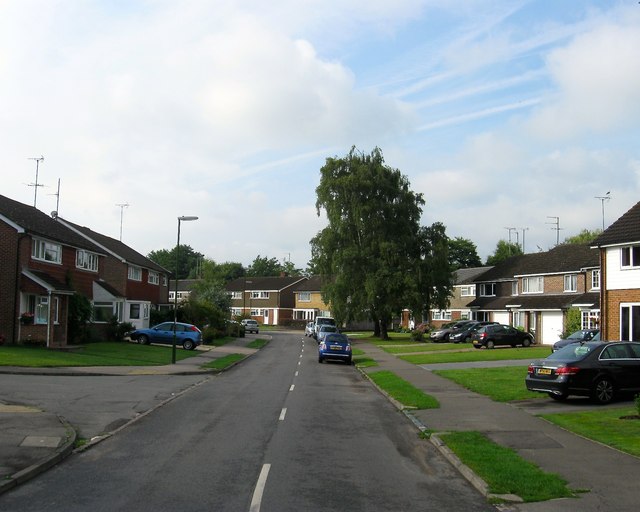
Image: © Simon Carey Taken: 15 Aug 2015
A residential road that runs from West Common to Backwoods Lane that was developed in stages; the eastern part was built in the late 1950s whilst the western end in view was not completed until the mid 1960s.
Images are licensed for reuse under creativecommons.org/licenses/by-sa/2.0
Image Location
Latitude
51.007601
Longitude
-0.090531