
Scrase Bridge
Introduction
The photograph on this page of Scrase Bridge by Simon Carey as part of the Geograph project.
The Geograph project started in 2005 with the aim of publishing, organising and preserving representative images for every square kilometre of Great Britain, Ireland and the Isle of Man.

There are currently over 7.5m images from over 14,400 individuals and you can help contribute to the project by visiting https://www.geograph.org.uk
Scrase Bridge
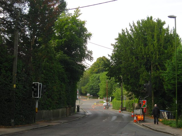
Image: © Simon Carey Taken: 15 Aug 2015
Carrying the B2028 over Scrase Stream for many centuries the parish boundary between Lindfield and Cuckfield, the latter replaced by Haywards Heath in the 19th century. The bridge was also an ancient pinch point between two commons; to the south Haywards Heath spread itself out to the south and west; to the north was Lindfield's West Common located to the east of Summerhill Lane the current road to Ardingly but mark don a 1638 estate map as the way to London. The roundabout in the distance is the junction with Sydney Road and Otahall Road, the latter continues south to Ditchling and Clayton as the B2112.
Images are licensed for reuse under creativecommons.org/licenses/by-sa/2.0
Image Location

Latitude
51.007591
Longitude
-0.095378